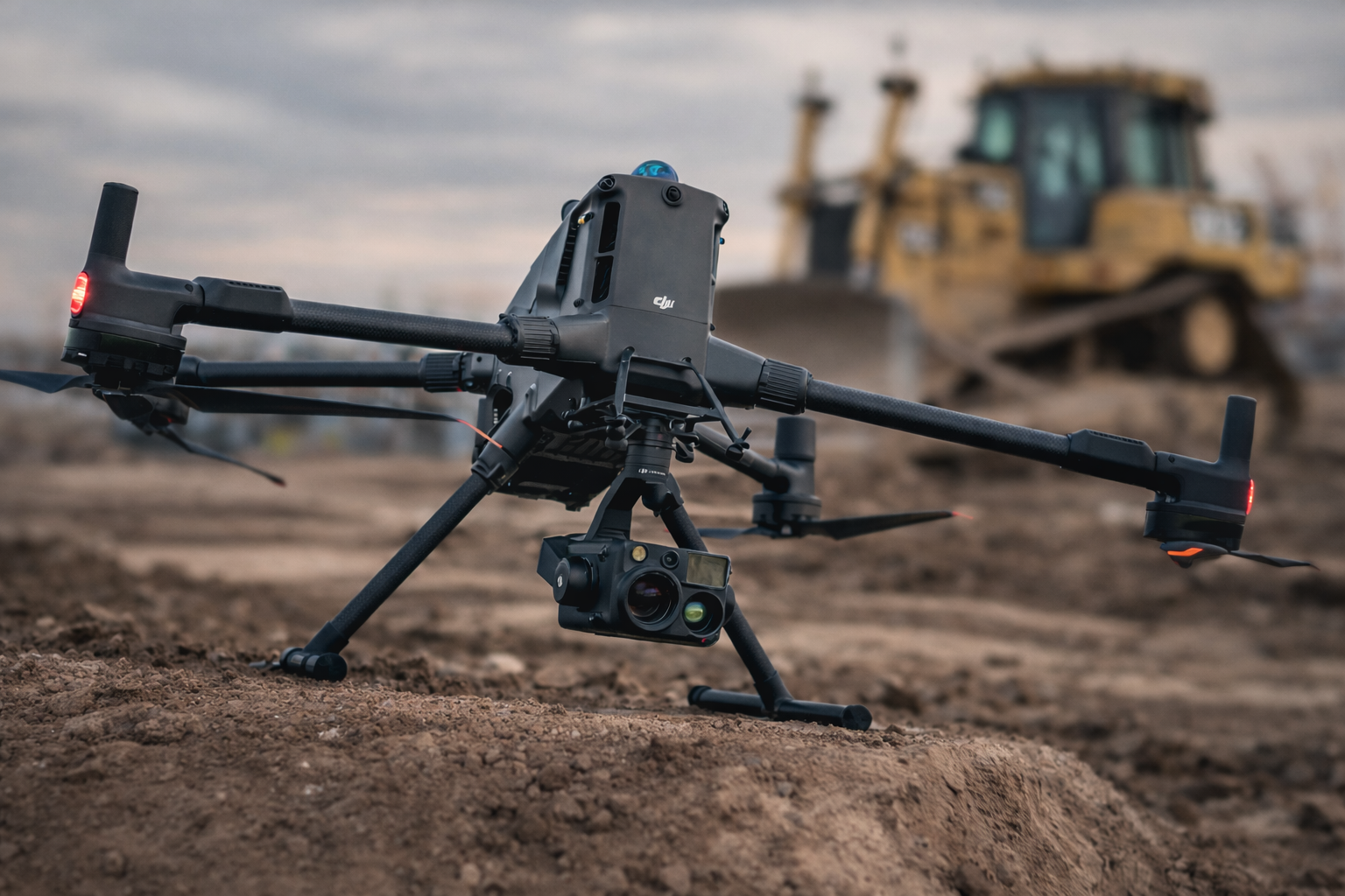
 Image 1 of 2
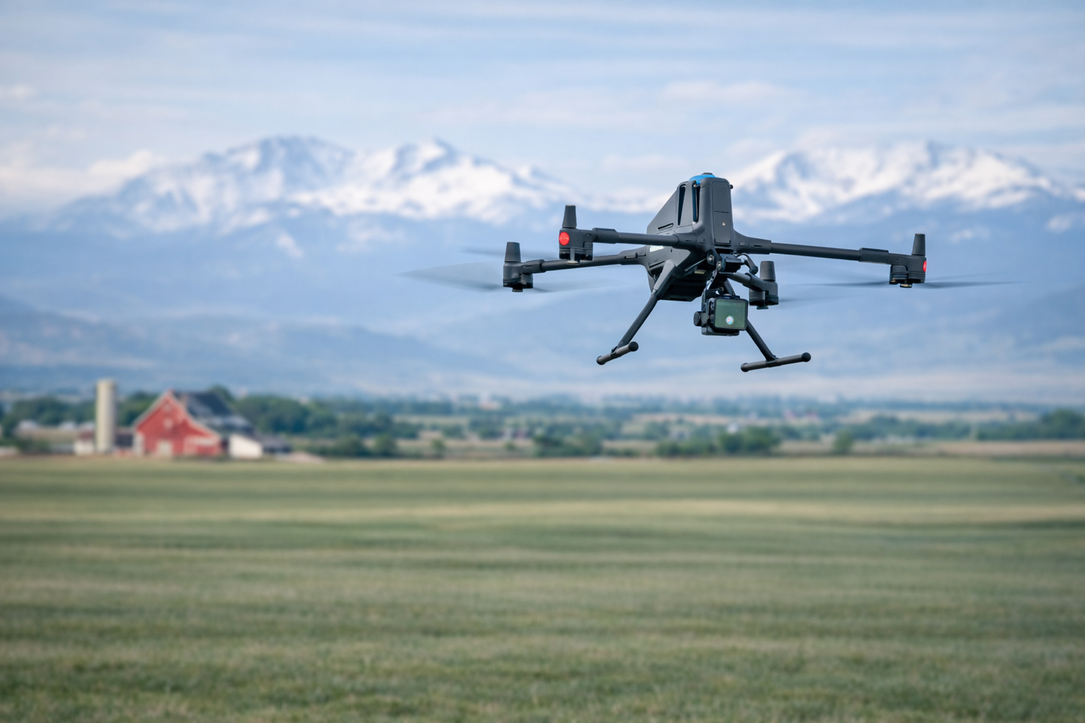 Image 2 of 2
Our Aerial Surveying Services utilize the most advanced UAV technology available to deliver accurate, high-resolution geospatial data that supports planning, design, and construction across all project phases. Using RTK-enabled platforms, high-resolution cameras, LiDAR, and industry-leading software, we capture precise aerial imagery and generate detailed deliverables such as orthomosaics, digital surface models, 3D point clouds, and cloud-based datasets that provide a comprehensive view of existing site conditions.
These aerial mapping capabilities support a wide range of construction and development needs, including site and earthwork planning, cut/fill analysis, volumetric calculations, and site logistics. By efficiently covering large areas and minimizing the need for ground access, UAV surveying improves data collection speed, enhances accuracy, and reduces overall project risk.
Through our interactive, cloud-based platforms, we also provide aerial progress documentation and verification, allowing project teams to monitor work in place, compare existing conditions to design, and maintain accurate visual records throughout the project. Our aerial survey deliverables integrate seamlessly with traditional survey and design workflows, providing reliable, actionable data that supports confident decision-making, early issue identification, and clarity from the initial survey through project completion.